Floods & Tsunamis
Floods
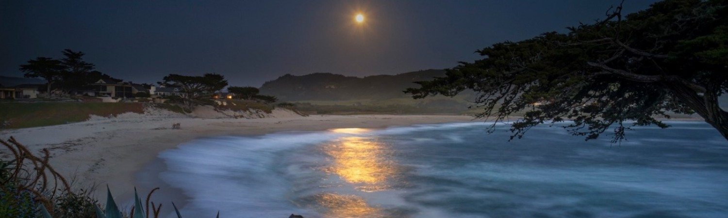
Flooding is an annual winter risk for homes built on the Carmel River lagoon. The risk is mitigated by dredging a channel through the Carmel River beach, a controversial practice described more fully in the Carmel River Beach section of this website. Flooding can also occur anywhere along the coast in heavy winter and El Niño storms. To prepare for flooding, here are some useful websites:
Tsunamis
Tsunamis are a natural occurrence resulting from offshore landslides and earthquakes. The 2004 Indian Ocean and 2011 Tōhoku devastating earthquakes and tsunamis remind us that California is not immune from these phenomena, since we are also on the Pacific "Ring of Fire". These tsunamis prompted a collaboration between California and academic centers to create tsunami inundation maps that show how far inland a strong tsunami is expected to flood.
Signs of an impending tsunami include long-lasting earthquake shaking, a very loud ocean roaring, and rapid rising or receding of coastal waters. These are signs to move immediately to higher ground after the shaking stops.
For more about California tsunamis
For the tsunami inundation map of our area, see this website which shows a large inundation zone that covers the entire Carmel River Lagoon area. This map should be consulted in planning your evacuation route.
Last Updated 5/29/16
Pages
- Home
- Our Neighborhood
- Neighborhood Character
- Local Organizations/Volunteer
- Carmel Cares
- Outdoor Lighting
- Parking/Driving/Walking
- Trees
- Crime
- Beaches
- Carmel River Beach
- Carmel Beach
- NOAA
- Drones
- Landscaping and Gardening
- Artificial Turf
- Gardens
- Emergency Information
- General Emergency Info.
- Hospitals & Trauma Centers
- CalFire
- Earthquakes
- Sheriff & Highway Patrol
- Ambulance
- El Nino
- Floods & Tsunamis
- Medical
- Pharmacies
- Hospitals
- Utilities & Services
- Garbage & Recycling
- PG&E
- Libraries
- Schools & Adult Education
- Banks
- Post Offices & Mail Centers
- Places of Worship
- Recreation & Outdoor Activities
- Hiking, Biking, Kayaking
- Things To Do With Kids
- Fishing Regulations
- Monthly Events
- Carmel Mission
- Lodging
- Rentals
- Inns on the Point
- Unusual Accommodations
- Shopping
- Shopping Locally
- Farmer's Markets
- Wine Tasting
- Transportation
- Monterey Air Bus (SFO/SJC)
- Monterey-Salinas Transit (MST) Dist
- Monterey Peninsula Airport District
- Taxis, Uber, Limo
- Fly & Park SJC & SFO
- Pets & Other Animals
- Dogs & Cats
- Animal Control & Shelters
- Pet Emergency Hospitals
- Wildlife
- News & Media
- Film
- Live Theaters
- Newspapers
- Radio
- TV Stations
- Social Media/Blogs
- Books & Guides
- Books
- Water Service & Issues
- Monterey Waste Management District
- Monterey Regional Water Pollution C
- Storms
- Water & Drought
- Water Service
- Buildings Codes & Standards
- Standards
- Historical Code
- Construction Info. & Guidelines
- Remodel
- Fences and Retaining Walls
- Code Violation Reporting
- Government Agencies
- County Service Area (CSA) 1
- California State Parks
- Monterey Regional Park District
- Local Government
- California Coastal Commission
- NOAA
- California Wildlife Day